 |
 |
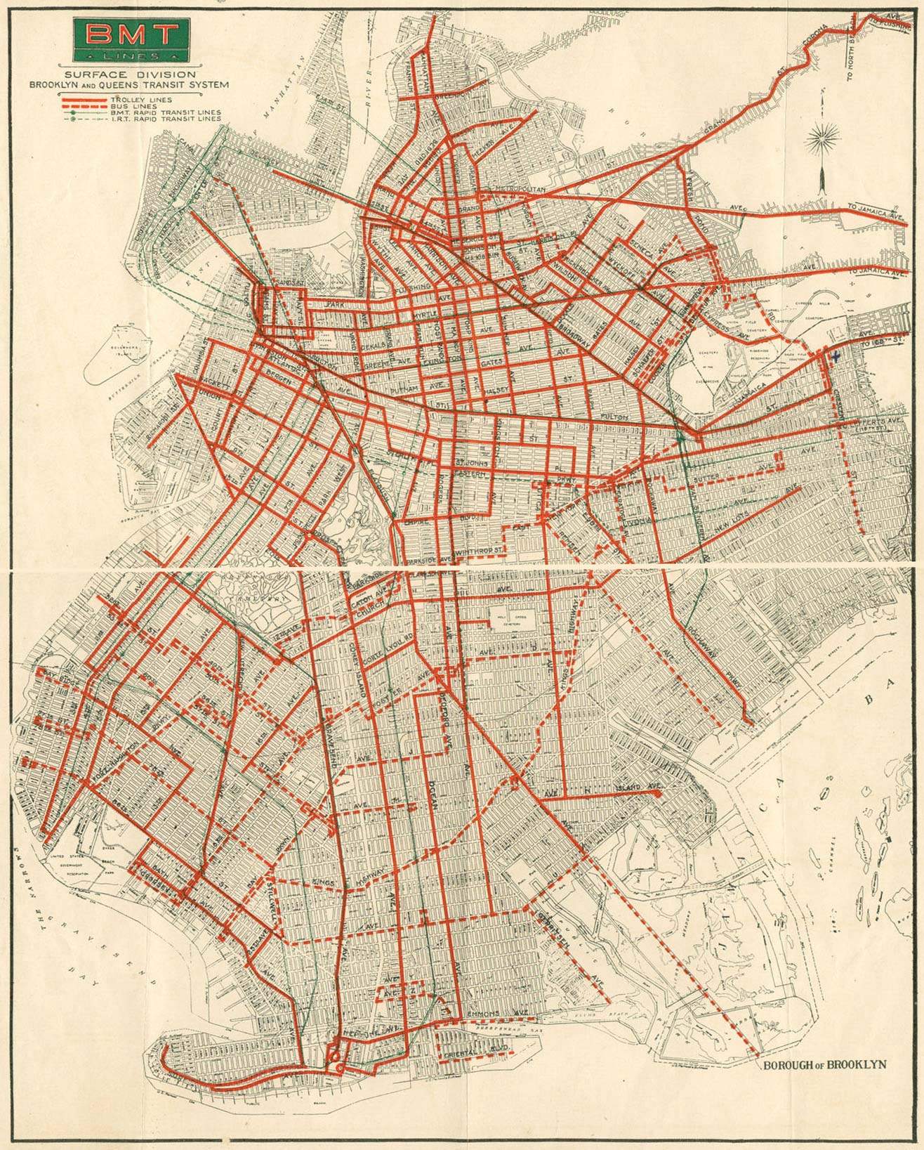
| BMT surface transit map, c.1930 |
LIRR map c. 1844- 1847
The LIRR’s Brooklyn To Boston Through Routes (Actual and Planned Routes)
|
 |
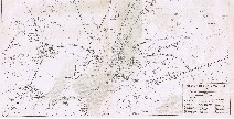 |
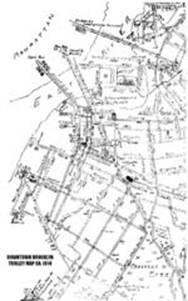
| Downtown Brooklyn Trolley Map c. 1914 |
1860 NYC Area Railroad Map showing AA tunnel and all other railroads in the NYC Metropolitan area (2.4mb)
|
|
|
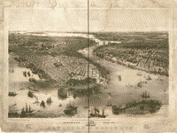
Bird’s
eye view of New-York & Brooklyn New York : Published by
A. Guerber & Co., c1851 (Drawn / Printed by J. Bachman)
|
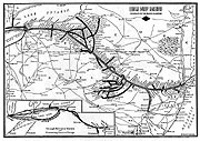
Map of the old Lehigh Valley Railroad, of which we
salvaged some rails from to help build our rail line.
|
|
|
|
Atlantic Avenue Tunnel Maps / Drawings / Surveys / Studies
|
|
|
|